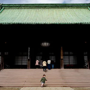
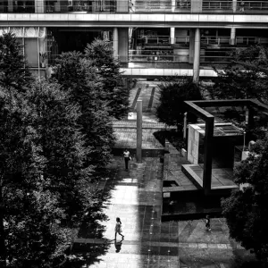
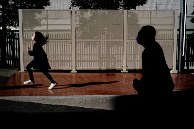
The girl was going lightly, and the old man was going slowly, step by step, up the steep hill
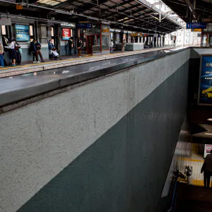
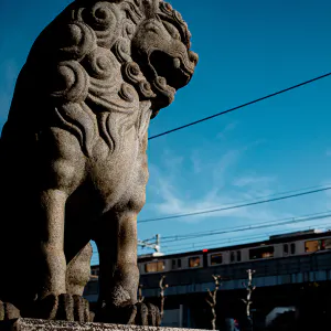
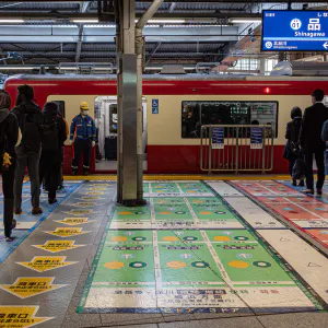
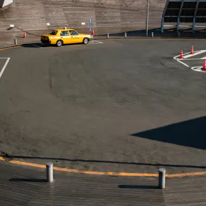
If you look at a map from the Edo period, you will see that the area where Shinagawa Station is located today was literally a beach with a landing place for unloading cargo. National Route 15 (Daiichi Keihin), which runs right in front of the station, used to be the Tokaido highway, which ran along the coast. In other words, the area around today's Shinagawa Station is almost zero meters above sea level, and from there it is an uphill climb inland to the Takanawa plateau.
This topography can be felt when walking through the Wing Takanawa shopping mall. It's as if you were walking on the second floor when you realized you were walking on the first floor.
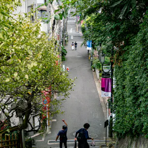
The slope gets steeper as you pass through Wing Takanawa and enter the Prince Hotel grounds. When you get to the area where Maxell Aqua Park Shinagawa is located, the slope is so steep that it is a little difficult to walk normally. The older people were having a hard time walking up the hill. Next to them, a girl was walking up the slope, cutting the steps with ease.
| Sep 2021 PEOPLE TOKYO | |
| GIRL OLD MAN RUN SHINAGAWA SILHOUETTE SLOPE |
PHOTO DATA
No
12036
Shooting Date
Feb 2021
Posted On
September 21, 2021
Modified On
August 17, 2023
Place
Shinagawa, Tokyo
Genre
Street Photography
Camera
SONY ALPHA 7R II
Lens
ZEISS BATIS 2/40 CF

