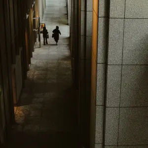
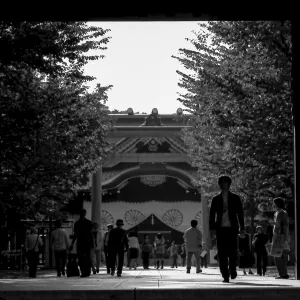
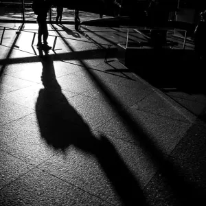
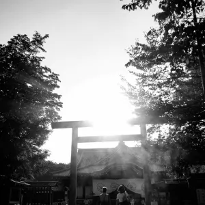
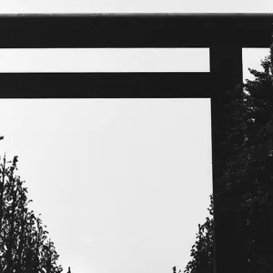
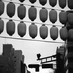
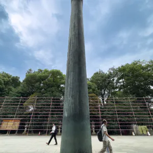
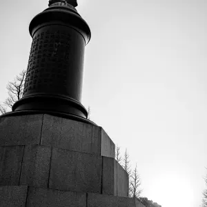
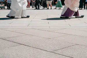
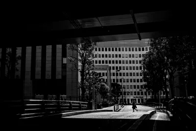
I saw the silhouette of a woman hurrying along in the sunlight
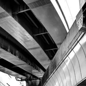
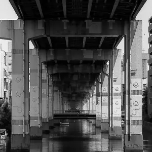
According to a book titled "Tokyo Uragaeshi (Tokyo Turned Upside Down)" written by Shunya Yoshimi, who was also the Vice President of the Tokyo University, Tokyo, in its quest to become a fast city, has built the Metropolitan Expressway as a major artery over the rivers and canals that used to run through the city center. As a result, the rivers flowing through the city center have become culverts, and the expressways run over them as if to cover them. If the highway is built on top of rivers and waterways, there is no need to acquire land for roads, so it can be built at a rapid pace and at a low cost.
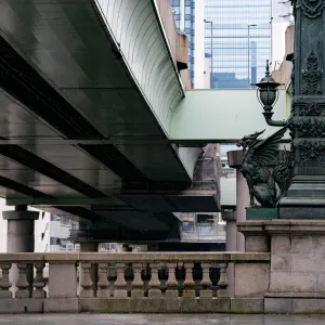
The Metropolitan Expressway stretches over the Nihonbashi River, which runs along the border between Kudan and Jimbocho, as if to cover it. After splitting from the Kanda River near Iidabashi, the Nihombashi River flows under the elevated highway for almost its entire course. The Metropolitan Expressway No. 5 Ikebukuro Line covers the river from just after the split from the Kanda River to Kijiko Bridge, the Metropolitan Expressway Inner Circular Route covers the river from Kijiko Bridge to Edo Bridge, and the Metropolitan Expressway No. 6 Mukojima Line covers the river downstream from Edo Bridge. It was only near Kayaba Bridge, near the confluence with the Sumida River, that the river could finally see the sky. Even if you look at the map, it's hard to notice the river because the highway is drawn all the way over the river.
I was standing on the Takarada Bridge over the Nihombashi River. The Metropolitan Expressway loomed just above me as if it were pressing down on me. The strong sunlight did not reach here. I felt like I was in a tunnel. As I turned my eyes toward the Chiyoda Ward Office, I saw a woman hurrying along in the strong sunlight.
| Aug 2021 IN THE CITY TOKYO | |
| HIGHWAY KUDAN SILHOUETTE |
PHOTO DATA
No
12014
Shooting Date
Feb 2021
Posted On
August 30, 2021
Modified On
August 18, 2023
Place
Kudan, Tokyo
Genre
Street Photography
Camera
RICOH GR III
