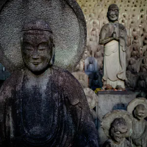
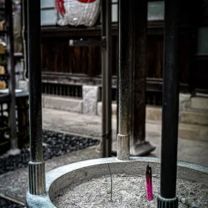
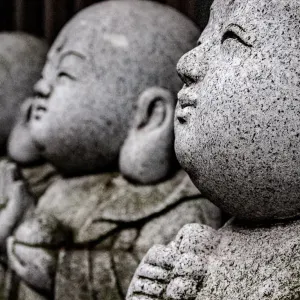
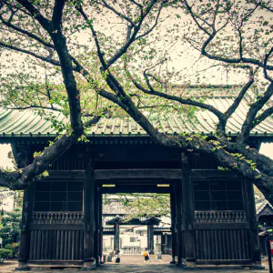
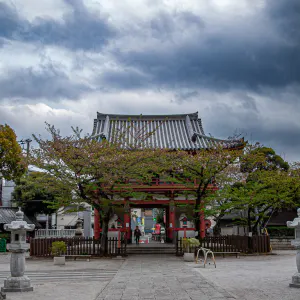
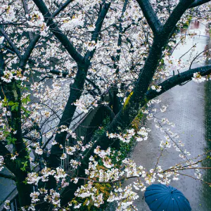
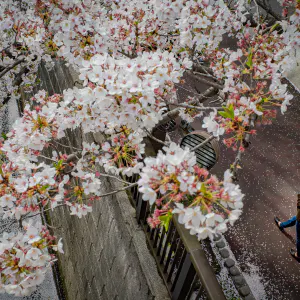
The plum blossoms by the main hall of Meguro Fudo-son were in bloom
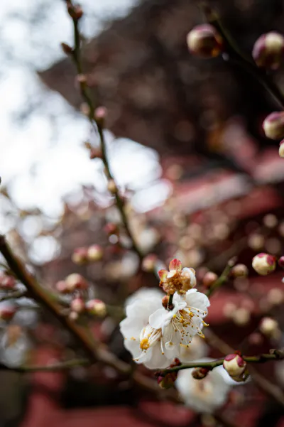
When I look at old maps of the area where I live in Meguro, I don't see many interesting things on them. It was after the Great Kanto Earthquake that this area became urbanized. Until then, it was a farming area with rice fields, so even if you look at old maps, you will only see rice fields.
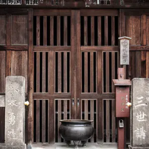
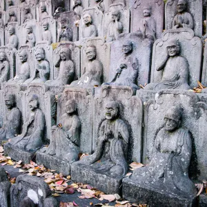
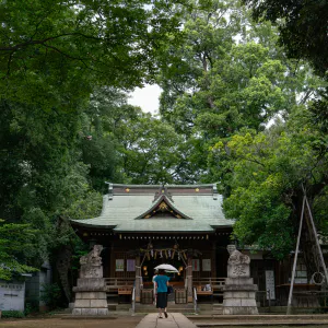
In such a situation, there are two things that stand out among the fields. One is Meguro Fudo-son, a Buddhist temple, which still stands in the same place. According to tradition, Ryusen-ji, or Meguro Fudo-son, was founded in 808, over 1200 years ago. During the Edo period (1603-1868), it was a popular tourist destination for the general public, and was even depicted in the Edo Meisho Zue (Edo Famous Places Illustrated), a local magazine of Edo published in the Tenpo era (late Edo period).
The second is the Kakae-yashiki, which was owned by a man named Matsui Naminosuke. A Kakae-yashiki is a plot of land owned by a samurai family, a temple or shrine, or a merchant who bought a piece of peasant land and built a house around it. According to a map from the end of the Edo period, a man named Matsui owned 73,682 square meters of land, including part of the current Rinshi-no-mori Park. That's quite a lot of land. Who was this Matsui Naminosuke? On the old map, he is listed as a Yoriai with a stipend of 3,000 koku. A Yoriai is an unemployed Hatamoto, a high ranking samurai in the direct service of the Tokugawa shogunate, with a stipend of 3,000 koku or more, so in today's world he would be like a NEET with unemployment income. I wanted to know more about him, but I couldn't figure out who Matsui Naminosuke was with a little research. When I come across a case like this, looking at old maps suddenly becomes a lot more fun. I'll go to the library next time and check it out.
| Jul 2021 NATURE TOKYO | |
| FLOWER MEGURO TEMPLE |
PHOTO DATA
No
11979
Shooting Date
Jan 2021
Posted On
July 26, 2021
Modified On
August 19, 2023
Place
Meguro, Tokyo
Genre
Floral photography
Camera
RICOH GR III
