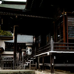
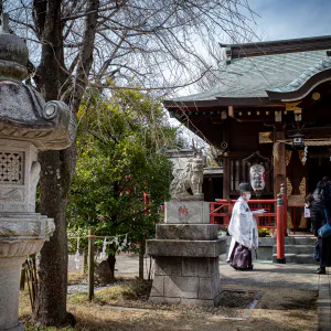
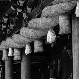
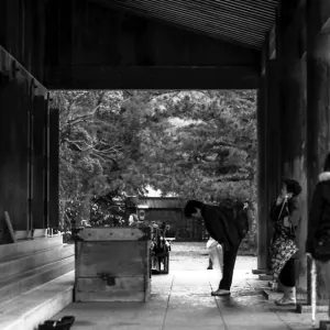
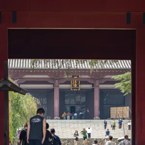
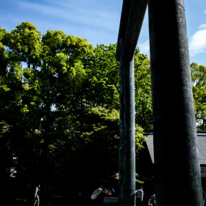
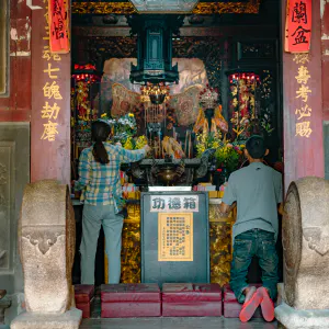
A woman pays her respects at Atago Shrine at the top of Mt. Atago
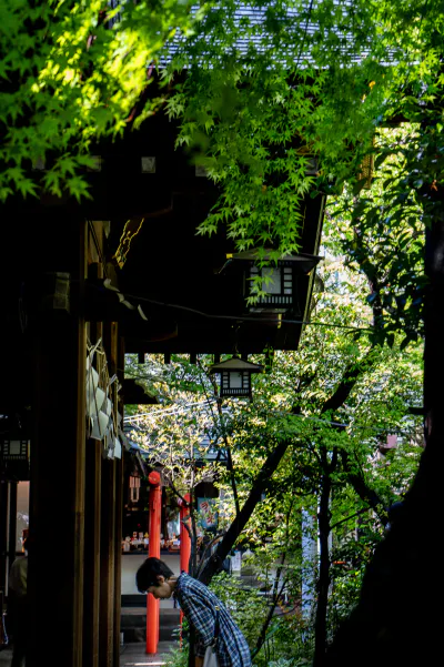
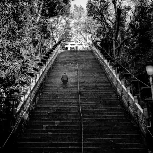
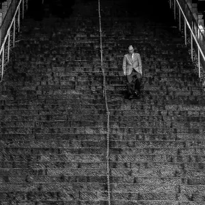
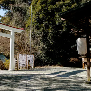
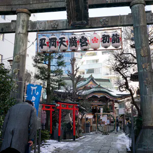
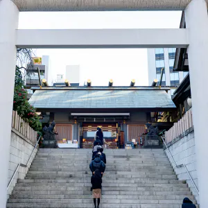
To visit Atago Jinja Shrine in Minato-ku, one has to climb either the steep stairway to the top of the shrine or the slightly gentler slope up to the shrine pavilion at the top of a small hill. If you think of it as an approach up a flight of stairs, it may seem a bit strenuous, but if you think of it as a short trail, it suddenly seems a lot less strenuous. Mt. Atago, where Atago Jinja Shrine is located, is the highest mountain in Tokyo's 23 wards, formed by natural formation, so it would not be wrong to think of the path to the shrine as a mountain trail.
Although it is hard to realize nowadays because of the surrounding tall buildings, Mt. Atago was once famous for its spectacular views from the top. A panoramic photo of Edo taken from Mt. Atago by a photographer named Felice Beato at the end of the Edo period shows not only the Hamarikyu Gardens, but also Edo Bay and Tsukiji Hongan-ji Temple, and the mountain appears in a railroad song written in the Meiji period as "Mt. Atago" (meaning that Atago was visible from the Shimbashi area where the railroad ran).
In an era without skyscrapers, it should be possible to send radio waves from the highest peak in the 23 wards of Tokyo to a great distance. It is no wonder that the Tokyo Broadcasting Corporation (one of the predecessors of NHK), which thought so, transmitted radio waves from the top of the mountain. However, today, with all the high-rise buildings in the city, a radio signal from 25.7 meters above sea level would be inadequate to reach even the heart of the city. The fact that the NHK Museum of Broadcasting remains atop Mt. Atago is a remnant of the fact that this was a high point with a great view of the city.
| Sep 2023 IN THE CITY TOKYO | |
| ATAGO CHECKERED SHIRT MAKE A BOW SHRINE WORSHIPER |
PHOTO DATA
No
12528
Shooting Date
Apr 2023
Posted On
September 27, 2023
Place
Atago, Tokyo
Genre
Street Photography
Camera
SONY ALPHA 7R V
Lens
ZEISS BATIS 1.8/85
